


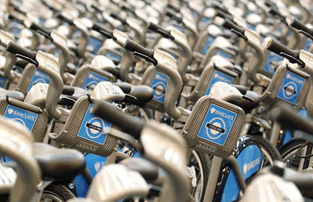
Google Maps has offered directions specifically for bikes for years now, and the app also can show you where to find bike-sharing locations. Today, Google is mashing those two options together and showing docked bikeshare info in the directions — if you don’t have your own bike, it’ll route you to the nearest bike-sharing location and include the closest drop-off spot to your final destination as well. Basically, it combines walking directions to and from the bike pick-up and drop-off with the best biking route.
Since Google Maps already has live bike availability for a variety of bike share partners, you won’t blindly be directed to a spot only to find there are no bikes available. Some cities will also include links from Google Maps directly to the bike-sharing service of choice, as well.
As with so many Google updates, this one is rolling out over the “coming weeks,” so don’t be surprised if it’s not an option immediately. Google says it’ll be available in 10 cities to start: Chicago, San Francisco Bay Area, Washington DC and New York City are the US options. It’ll also work in London, Mexico City, Montreal, Rio De Janeiro, Sao Paulo and Tapei and New Tapei City.
Contact Information:
Nathan Ingraham
Tags:
, Wire, United States, English
Contact Information:
Nathan Ingraham